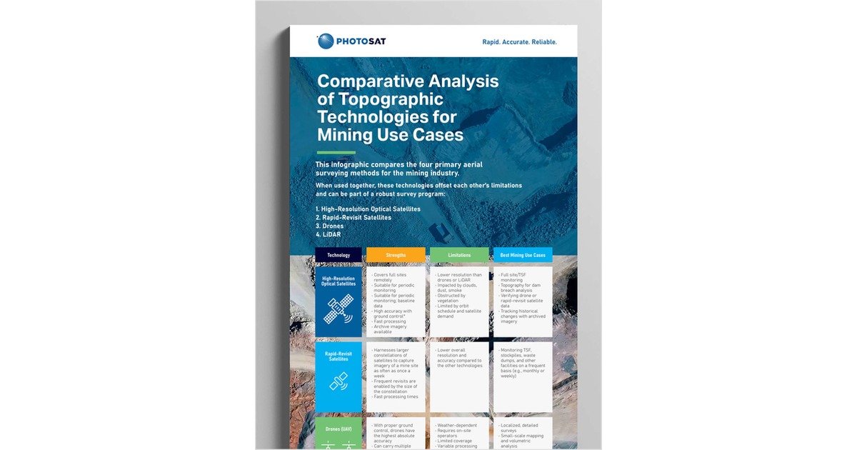
Unlock the Future of Mine Site Monitoring: Compare the four primary aerial surveying methods for the mining industry.
Discover how cutting-edge aerial surveying technologies stack up in real mining environments. This infographic delivers a clear, comparative analysis of drones, LiDAR, high-resolution optical satellites, and rapid-revisit optical satellite systems—highlighting their strengths, limitations, and best-use scenarios. Whether you’re optimizing tailings storage facility (TSF) monitoring, conducting volumetric analysis, or planning dam breach assessments, this guide helps you choose the right tool for the job. Maximize accuracy, minimize costs, and maintain a complete operational picture.
Offered Free by: PhotoSat
See All Resources from: PhotoSat